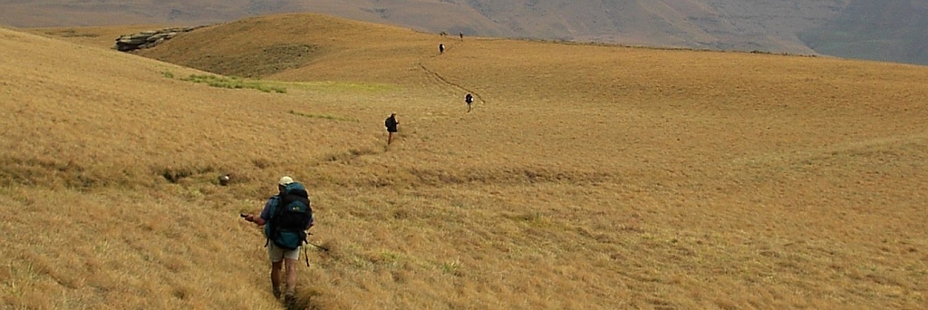

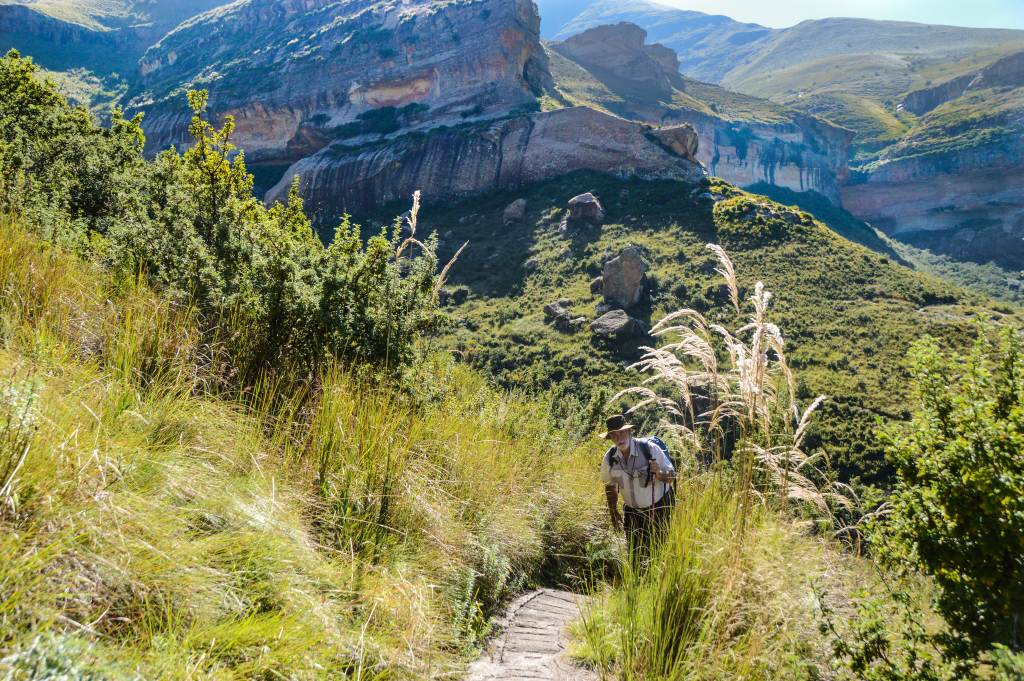
 Just Frans and I spent some time in the Golden Gate camping and hiking. The important events were the two hikes, up to Wodehouse and a circular route at Sunnyside.
The Wodehouse name is a bit of a mystery, because we used to call it wood house, but on their maps and on Google Earth it's Wodehouse. Needs some further investigation, I hate being wrong all those years.
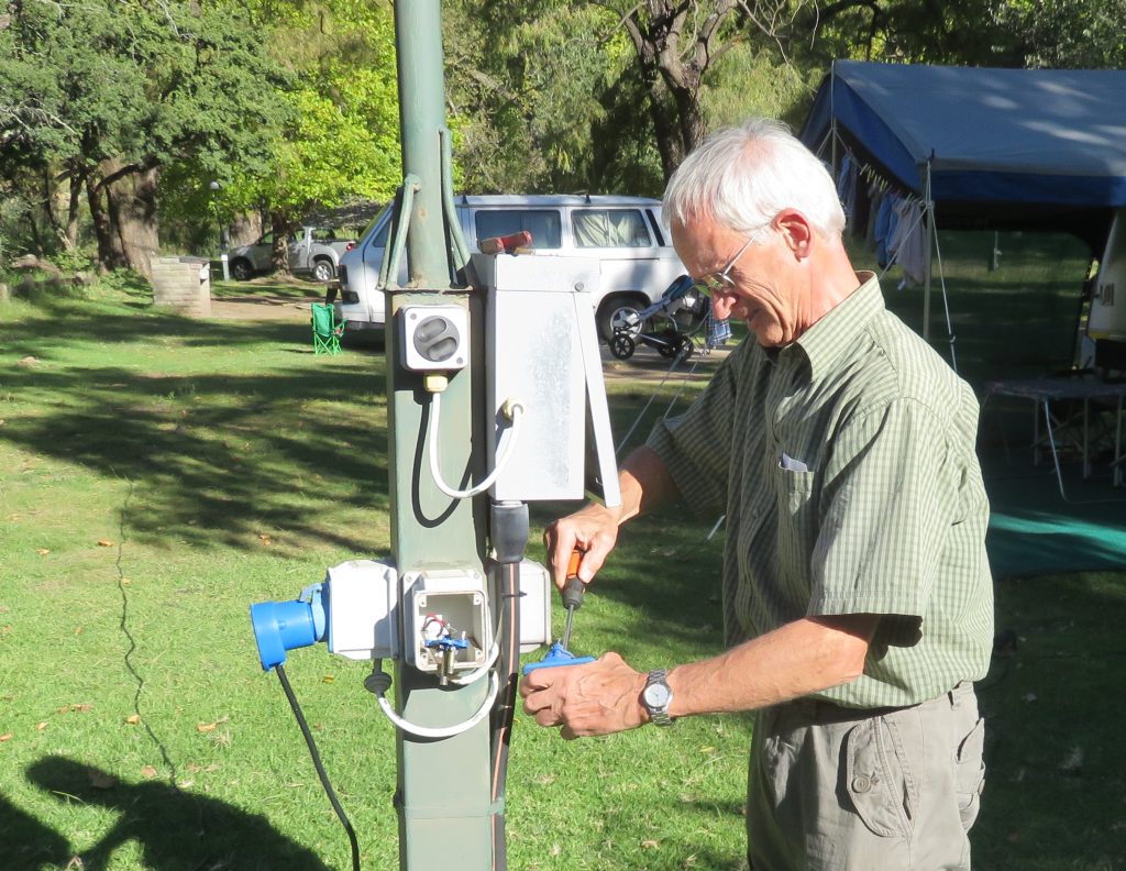 Arriving at the camp the first thing we had to do was to fix the electrical supply. Two of the plug points on our pole had burned and were not usable. The other two plugs were in use by other campers. We proceeded to put on our electrician hats and made one reasonable plug out of the two.
Started off from the camp site over to the top of Brandwag and around the corner following the sign saying Wodehouse, and this is where we went wrong. Following the path around the mountain it soon petered out and we had no idea where to go. An other hiking couple behind us had the same problem. We went back looking for a branch off that we could have missed. No luck, so we decided to follow the path down toward the road and than along the mountain for some distance to at least get a decent leg stretch. It turned out that this was the route to Wodehouse as a sign told us at the bottom.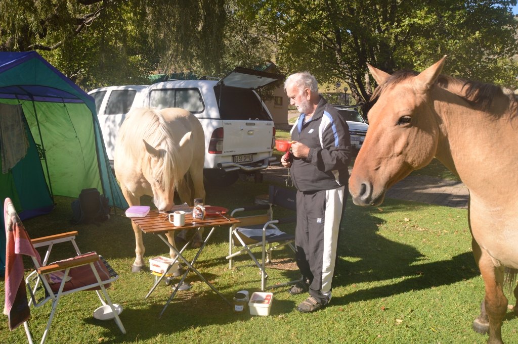 Well, it was too late in the day to complete the trail, so we walked until we had enough and turned around.
That was the end of the first day hike. We had a pleasant incident in the morning when a couple of horses moved through the camp site, obviously campers means food. One of them was very bold and cleared our table, it got a piece of bread.
We went over to the Sunnyside Guest farm on the western side of the park, we knew they had a circular trail that one can do. On arrival we only found a worker who informed us that the owners are not in at the moment, but we can go and hike. The problem is we had no idea where to hike, neither did he. We followed the stream up on the track until we ran out. At that point I noticed the hiking hut that we had stayed at before on my GPS. It was Ouma's Kraal on the Angel Wing hike. I suggested that this would give us something to aim for, and it was only 2km straight line and 60 meters above our point. It meant going cross country in a more or less straight line, it was tough, but we managed.
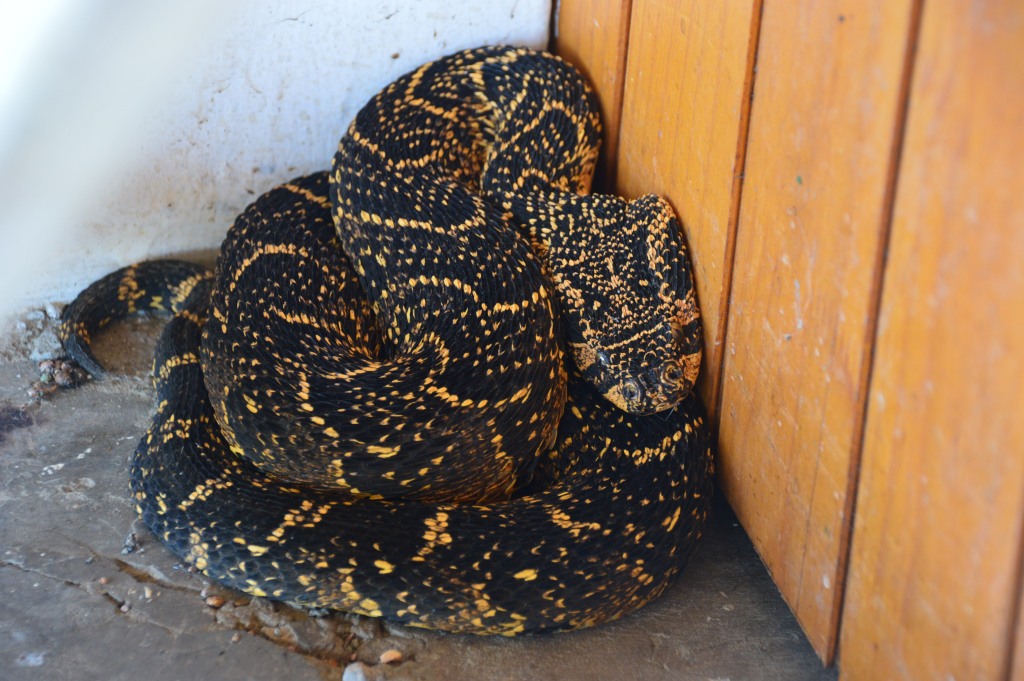 The hut, off course, was well locked up, like a safe, for reasons we understand. Nothing out there that is not totally secured will disappear to be redistributed. In addition to the security they also had a Puffadder coiled up in the door way to hinder access. Frans nearly stood on it and it hissed, but still we enjoyed our encounter with that sort of wildlife and took plenty of pictures. Sitting at table having our lunch we could observe the snake all the time, just in case it would sneak up to us. But, of course, we know that these snakes don't do that.
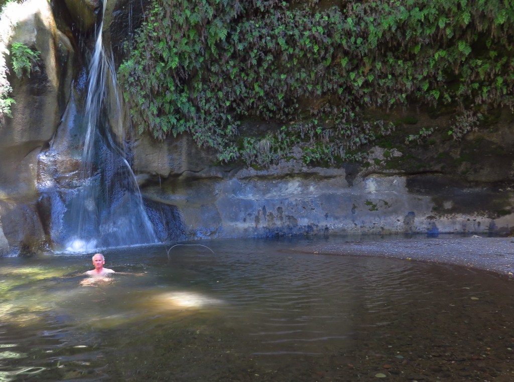
This was our turning point, we tried to follow the trail that used to exist. I was very pleased to find it taking us down to the what I called the cauldron last time we were here in 2012 (check Angel Wing hike on these pages). An other name and the official name for the place is Alexander Fall. Its like a huge pot formed by swirling water of the millennials and a water fall entering from above. A very impressive place. Frans managed to have a swim, for me the water was too cold.
 And then the problems started. The trail used to follow the bottom of the gorge, but hasn't been used for a long time and we went wrong a few times before we decided the best would be to get back up and follow the road back to Sunnyside. This we did , only difference we found an old hiking path that took us there in a straight line. And that was it, we both felt very satisfied with our days effort.
P.S.:the mountain to the north from the camp is named after Sir Percy Wodehouse, the governor of the Cape who had a beacon piled up on top of the mountain as a border demarcation. There we are, for years I have been wrong and called the mountain wood house.